![]()
![]()
![]()
![]()
![]()
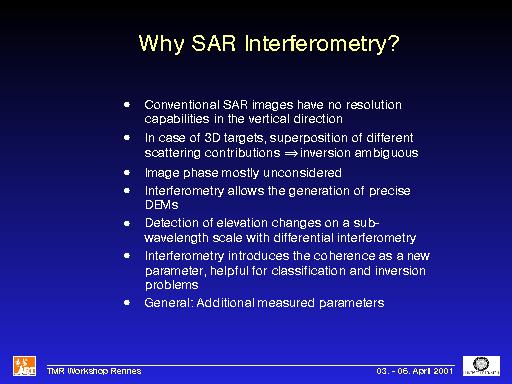
Comments: What are the reasons to make SAR interferometry? First of all, simple SAR images have no resolution in the vertical direction, but often scatterers are vertically distributed (vegetation, buildings). An image pixel therefore contains a superposition of several scattering contributions. If a certain technique tries to invert the data to a parameter of interest, the result is often ambigous because no 'clean' signal can be received.
The SAR image is generally complex, but the image phase stays mostly unconsidered. But it contains a lot of useful information. For example SAR interferometry, by using phase information, is able to extract high precision digital elevation models (DEMs). Additionally, changes in the topography with millimeter precision can be detected with differential SAR interferometry. Finally, a new observable, the interferometric coherence, is introduced. It has been shown, that the coherence is very useful for classification and inversion purposes. Generally speaking, with SAR interferometry more parameters of the scatterers are measured, so why not use them?